Authorities in Hong Kong and Macao are urging residents to stay alert for weather warnings and avoid shorelines as Tropical Storm Maysak brings strengthening winds and heavy rain.
Meteorologists weigh higher typhoon signals as Tropical Storm Maysak intensifies
Article by:
PUBLISHED:
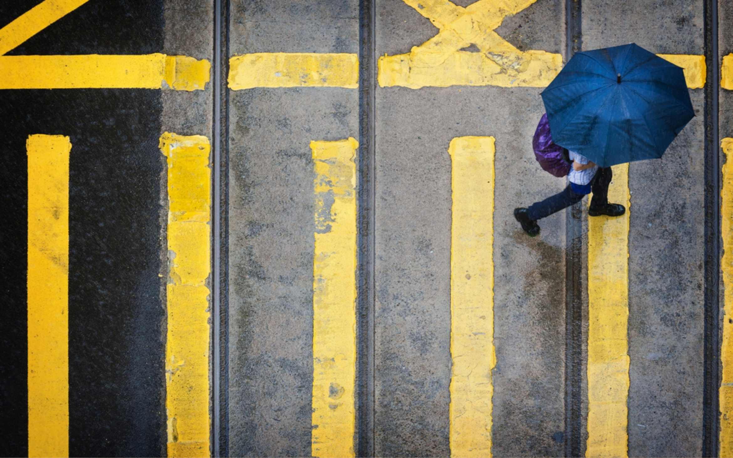
Meteorologists in Macao and Hong Kong are considering the possibility of raising the no. 3 typhoon signal today as Tropical Storm Maysak intensifies.
Macao’s forecasters say there is a “high” possibility of the no. 3 signal, while the Hong Kong Observatory says it will assess the need for the higher signal later today “depending on the changes in the intensity of Maysak, the distance of its strong winds from the Pearl River Estuary, and the local wind conditions.”
Currently, the no. 1 signal has been hoisted in both cities. A yellow rainstorm warning is in effect in Macao and a thunderstorm warning has been issued in Hong Kong.
At 5 am, Tropical Storm Maysak was roughly 640 kilometres southwest of the Pearl River Estuary and is forecast to move north-northwest at around 10 km/h towards Hainan.
[See more: Hong Kong and Macao issue T1 typhoon signals]
Under the influence of the outer circulation of Tropical Storm Maysak, winds in Macao and Hong Kong are expected to strengthen with showers becoming frequent.There will be rain and thunderstorms over the weekend, heavy at times.
Will there be flooding during Tropical Storm Maysak?
Because of the possibility of swells, the Hong Kong Observatory has advised members of the public to stay away from the shoreline during the passage of Tropical Storm Maysak and to not engage in water sports
In Macao, where low-lying areas are prone to flooding from storm surges, meteorologists say the impact of astronomical tides will not be significant and the likelihood of a significant storm surge is low.
Authorities in both cities advise residents to pay attention to weather changes, the latest updates and storm warnings
UPDATED: 03 Jul 2026, 2:36 pm