Typhoon Noul is expected to pass over the east coast of Guangdong this weekend, according to the latest forecasts
Hong Kong and Macao prepare for T1 signals as Typhoon Noul edges closer
Article by:
PUBLISHED:
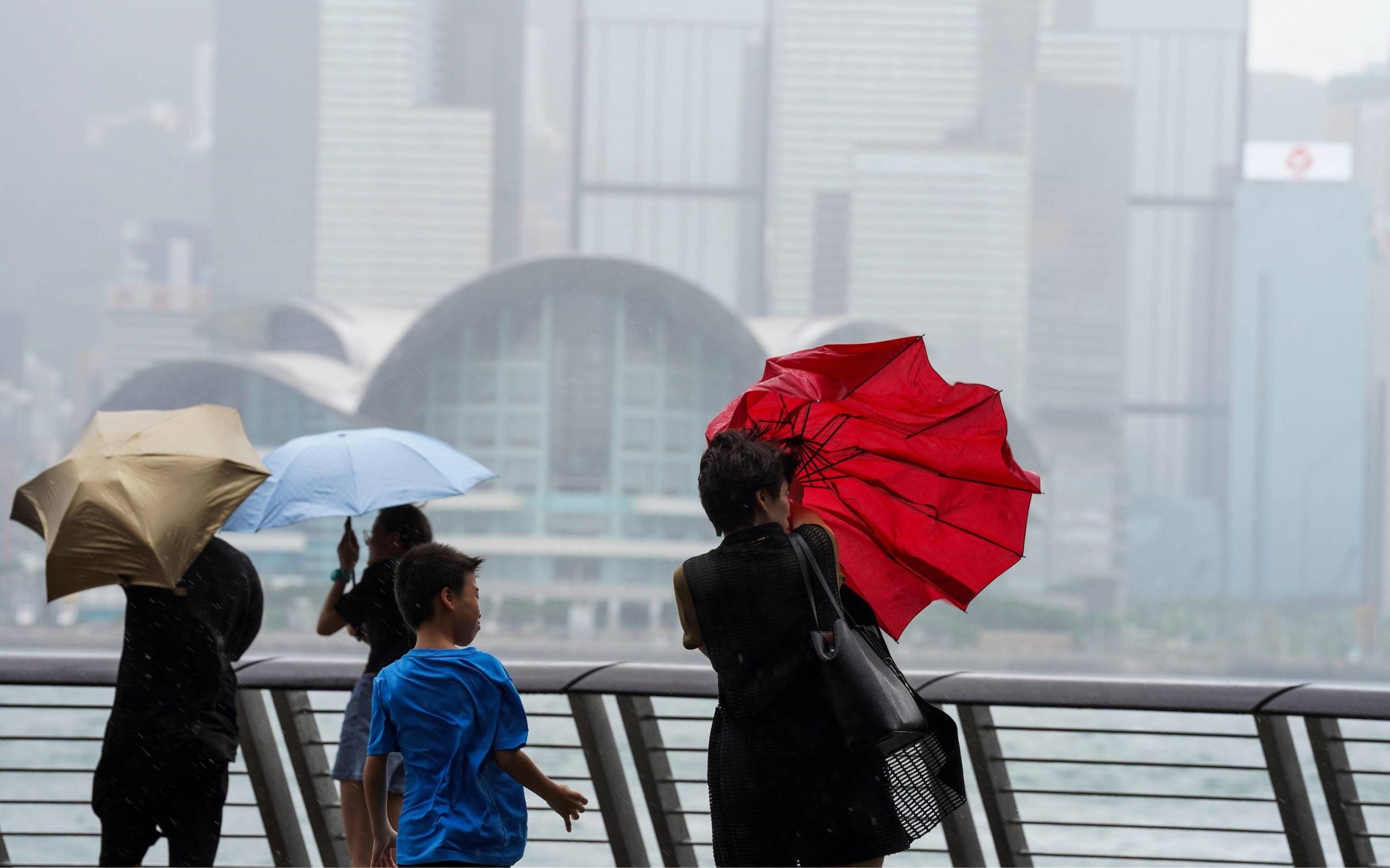
Hong Kong and Macao will both hoist Typhoon Signal No. 1 (T1) tonight in response to Typhoon Noul, which is currently projected to come within 800 kilometres of the cities.
Latest reports say that Typhoon Noul is expected to pass through the northeastern part of the South China Sea, nearing the coast of eastern Guangdong over the next few days. The Hong Kong Observatory says it will raise the No. 1 signal at 8:40 pm, while Macao weather officials say the signal “will be issued accordingly” tonight.
Hong Kong forecasters noted that “Noul has a higher chance to make landfall over the vicinity of Huizhou to Jieyang at first on Sunday,” but uncertainties in its path remain.
Showers, thunderstorms and strong winds are anticipated along Guangdong’s coast this weekend. Rainfall in the region is expected to continue into the middle of next week, with the Hong Kong Observatory noting that the “unsettled” weather along the coast of Guangdong will remain in place until then.
[See more: The ultimate Macao typhoon survival guide]
Looking ahead, Macao’s metrologists expect the weather to be “very hot” today and tomorrow as a result of the impact of the outer subsiding airflow of Typhoon Noul.
“During the afternoon and evening, high temperatures may trigger showers and thunderstorms as well,” Vera Varela, a spokesperson with the bureau, said in a local media report.
Once Typhoon Noul edges closer to the coast of eastern Guangdong, Macao is expected to see a greater frequency of showers, thunderstorms, as well as strong winds. This unstable weather is likewise projected to continue into the middle of next week.
Mainland China prepares for Typhoon Noul
Mainland Chinese authorities are also making preparations for the arrival of Typhoon Noul. Yesterday, the China Meteorological Administration issued a Level 3 emergency response for typhoons, heavy rain and severe convective weather under China’s 4 level alert system, where tier-1 represents the greatest threat.
Currently, the administration anticipates Typhoon Noul making landfall along the coast between Zhuhai in Guangdong and Zhangpu in Fujian between the evening of 25 July and early morning of 26 July.
As a result, Greater Bay Area (GBA) cities such as Guangzhou and Shenzhen are anticipating torrential rain and strong winds in the coming days.
The appearance of Typhoon Noul is not unexpected, as the GBA’s typhoon season normally falls between April and October, with the peak period being August and September.
UPDATED: 24 Jul 2026, 4:27 pm