The upcoming CBERS 5 mission aims to bolster Brazil’s meteorological monitoring capabilities and advance the long-standing space partnership between the two nations.

Article by:
PUBLISHED:
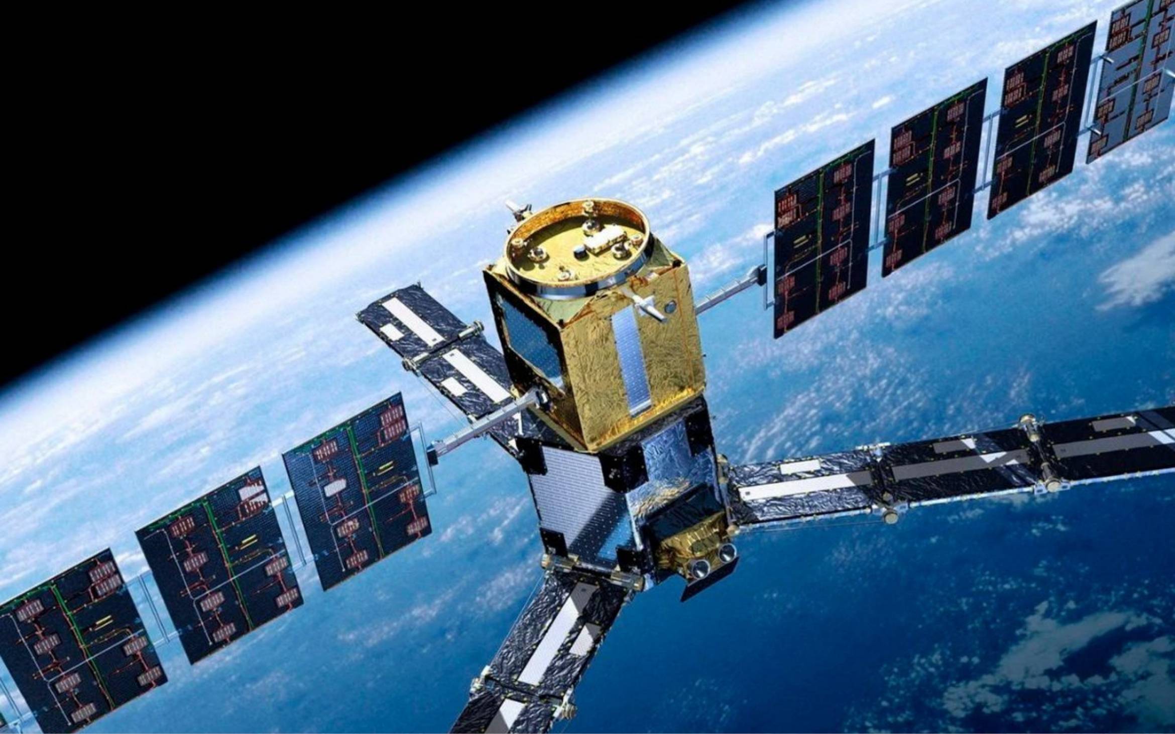
Experts from Brazil and China are currently finalising the technical specifications for CBERS 5, the first geostationary satellite to be developed under the nations’ three-decade-long space initiative. The agreement, signed in June 2024, targets a launch date by 2030, with the objective of supplying continuous meteorological images and data over Brazilian territory, the Brazilian government says.
This project represents a significant evolution in the CBERS Programme, which has already facilitated the successful launch and operation of six satellites, most recently the CBERS4A in December 2019 from China’s Taiyuan Satellite Launch Centre. Coordinated by the Brazilian Space Agency with technical participation from the National Institute for Space Research, the current initiative also involves the advancement of the CBERS 6 project.
[See more: Chinese investment surges in Brazil]
Unlike previous Earth observation satellites in the bilateral cooperation, CBERS 5 will enable continuous, real-time monitoring across the entirety of Brazil. Under the agreement, Brazil is responsible for the development of the satellite platform, while China is responsible for the meteorological and environmental payload.
By transitioning from low-Earth orbit operations to geostationary capability, the mission is expected to strengthen Brazil’s strategic position in the space sector. Furthermore, it will enhance infrastructure for environmental observation, aiding in the monitoring of storms, droughts, floods, and other extreme events, while contributing to climate change adaptation.
Prior to the CBERS 5, the partnership has had a tangible impact in Brazil, particularly through CBERS‑4 and CBERS‑4A, which supply free satellite imagery used in programmes to track Amazon deforestation, fires, water resources and land‑use change. Data from these missions underpin environmental enforcement and urban planning decisions, and have doubled the volume of images available to public agencies and researchers compared with earlier generations of the programme.
The upcoming CBERS 6, meanwhile, will be the first radar‑equipped satellite in the series, which will fly in a polar, sun‑synchronous orbit and be able to capture images regardless of cloud cover or daylight. Brazilian officials say the combination of CBERS 6’s all‑weather radar data and geostationary real‑time monitoring by CBERS 5 will significantly expand the country’s capacity to detect deforestation, illegal burning, soil degradation and extreme events.